Ely, Minnesota (nonfiction)
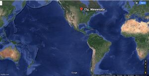
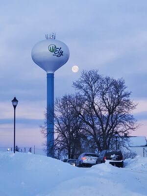
Ely (/ˈiːli/ EE-lee) is a city in Saint Louis County, Minnesota, United States. The population was 3,460 at the 2010 census.
About Ely
It is located on the Vermilion Iron Range, and is historically home to several iron ore mines.
Ely is located in the Arrowhead Region of northern Minnesota.
Today the city of Ely is best known as a popular entry point for the Boundary Waters Canoe Area Wilderness.
The main street of Ely (Sheridan Street) is lined with outfitters, outdoor clothing stores, art galleries, and restaurants.
The main routes in and out of Ely are State Highway 1 (MN 1, also Sheridan Street where it passes through town), State Highway 169 (MN 169), and County Road 21 (Central Avenue).
Winter parking restrictions
Roll-offs
Northern Routes Roll-off
128 E Chapman Street
Ely, MN 55731
P: 218-235-8036
Restaurants
In the News
Fiction cross-reference
- Gnomon algorithm
- Gnomon Chronicles
- Grandee of the Arrowhead
- New Minneapolis, Canada - Ely is part of the informally designated "Greater New Minneapolis, Canada area"; several prominent Gnomon algorithm theorists have retired to Ely.
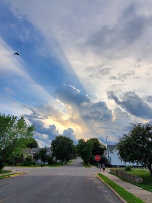
- Raven in the Shadow of Clouds
Nonfiction cross-reference
- Arrowhead Region (nonfiction)
- Ely Neon (nonfiction)
- Grandee of the Arrowhead (nonfiction)
- Greater Ely, Minnesota Co-Prosperity Sphere
- Karl Jones Gallery (nonfiction)
- Minnesota (nonfiction)
- Pioneer Mine (nonfiction) - an underground iron mine in Ely, Minnesota, United States, in operation from 1889 to 1967.
- [[Shagawa Lake (nonfiction)]
External links
- Ely, Minnesota @ Wikipedia
- North American Bear Center
- International Wolf Center
- Ely Area 2024 Elections – Open Seats – Filing Info @ Ely Minnesota dot com


